2017 GFS Analyses


 home 

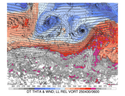
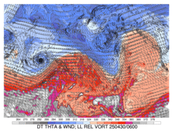
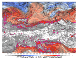
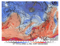
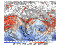
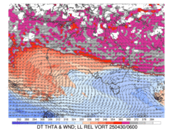
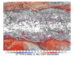
Dynamic Tropopause Loops


6-hourly 0.5° GFS analyses, except 1.0° analyses for DT potential temperature and wind

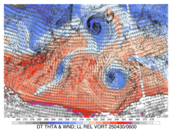
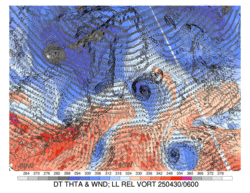
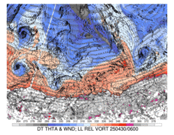
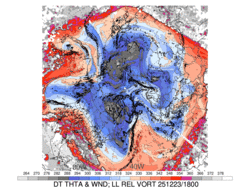
DT (1.5-PVU surface) potential temperature (shaded, K) and wind barbs (knots), 925–850-hPa layer-averaged cyclonic relative vorticity (black contours, every 0.5 x 10⁻⁴ s-1)


Indian Ocean

Click image for latest 72-h loop

Western North Pacific

Click image for latest 72-h loop

North Pacific

Click image for latest 72-h loop

Tropical East Pacific

Click image for latest 72-h loop

North America

Click image for latest 72-h loop

North Atlantic

Click image for latest 72-h loop

High-Lat North Atlantic

Click image for latest 72-h loop

Eurasia

Click image for latest 72-h loop

Northern Hemisphere

Click image for latest 72-h loop

South America

Click image for latest 72-h loop

Africa

Click image for latest 72-h loop

Australia

Click image for latest 72-h loop

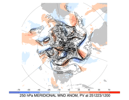
Extratropical Waveguide Loops

6-hourly 0.5° GFS analyses

250-hPa meridional wind anomaly (m s-1, shaded according to color bar, departure from a 21-day running mean long-term climatology, only greater than one-standard-deviation magnitudes are plotted) and PV (solid, every 1 PVU, with the zero line omitted)


Northern Hemisphere

Click image for latest 72-h loop

Southern Hemisphere

Click image for latest 72-h loop

Jet, Thickness, SLP, and Moisture Loops

6-hourly 0.5° GFS analyses

250-hPa wind speed (m s-1, shaded according to color bar), 1000–500-hPa thickness (dashed contours every 6 dam), SLP (solid contours every 4 hPa), total precipitable water (mm, shaded according to gray scale)


Indian Ocean

Click image for latest 72-h loop

Western North Pacific

Click image for latest 72-h loop

North Pacific

Click image for latest 72-h loop

Tropical East Pacific

Click image for latest 72-h loop

North America

Click image for latest 72-h loop

North Atlantic

Click image for latest 72-h loop

High-Lat North Atlantic

Click image for latest 72-h loop

Eurasia

Click image for latest 72-h loop

Northern Hemisphere

Click image for latest 72-h loop

South America

Click image for latest 72-h loop

Africa

Click image for latest 72-h loop

Australia

Click image for latest 72-h loop


top

Divergent Outflow–Jet Interaction Loops

6-hourly 0.5° GFS analyses

250-hPa wind speed (m s-1, shaded according to color bar), 250-hPa potential vorticity (gray contours every 1 PVU), 250-hPa relative humidity (%, shaded according to gray scale), 600–400-hPa layer averaged ascent (red contours every 5 x 10⁻³ hPa s-1, negative values only), 300–200-hPa layer averaged irrotational wind (vectors starting at 3 m s-1)


Indian Ocean

Click image for latest 72-h loop

Western North Pacific

Click image for latest 72-h loop

North Pacific

Click image for latest 72-h loop

Tropical East Pacific

Click image for latest 72-h loop

North America

Click image for latest 72-h loop

North Atlantic

Click image for latest 72-h loop

High-Lat North Atlantic

Click image for latest 72-h loop

Eurasia

Click image for latest 72-h loop

South America

Click image for latest 72-h loop

Africa

Click image for latest 72-h loop

Australia

Click image for latest 72-h loop

top

PV Advection by Nondivergent Wind Loops

6-hourly 0.5° GFS analyses

250-hPa streamfunction (red, every 8 x 10⁶ m2 s-1), PV (gray, every 1 PVU), PV advection by the nondivergent wind (shaded according to the color bar in 10-4 PVU s-1), and wind speed (shaded according to the gray scale in m s-1)


Indian Ocean

Click image for latest 72-h loop

Western North Pacific

Click image for latest 72-h loop

North Pacific

Click image for latest 72-h loop

Tropical East Pacific

Click image for latest 72-h loop

North America

Click image for latest 72-h loop

North Atlantic

Click image for latest 72-h loop

High-Lat North Atlantic

Click image for latest 72-h loop

Eurasia

Click image for latest 72-h loop

South America

Click image for latest 72-h loop

Africa

Click image for latest 72-h loop

Australia

Click image for latest 72-h loop


top

Q Vector Loops

6-hourly 0.5° GFS analyses

700-hPa geopotential height (solid blue, dam), temperature (dashed red, °C), Q vector (arrows, plotted for values greater than 5 x 10⁻⁷ Pa m-1 s-1 only), and Term A of the Q-vector form of the QG Omega equation (shaded according to the colorbar, 10-12 Pa m-2 s-1)


Indian Ocean

Click image for latest 72-h loop

Western North Pacific

Click image for latest 72-h loop

North Pacific

Click image for latest 72-h loop

North America

Click image for latest 72-h loop

North Atlantic

Click image for latest 72-h loop

High-Lat North Atlantic

Click image for latest 72-h loop

Eurasia

Click image for latest 72-h loop

South America

Click image for latest 72-h loop

Africa

Click image for latest 72-h loop

Australia

Click image for latest 72-h loop

top