Arctic

Tropical

Other

About

Other stuff

GrADS Utilities & Mods

Example

Source code: Enable UTF-8 encoding and vertical strings

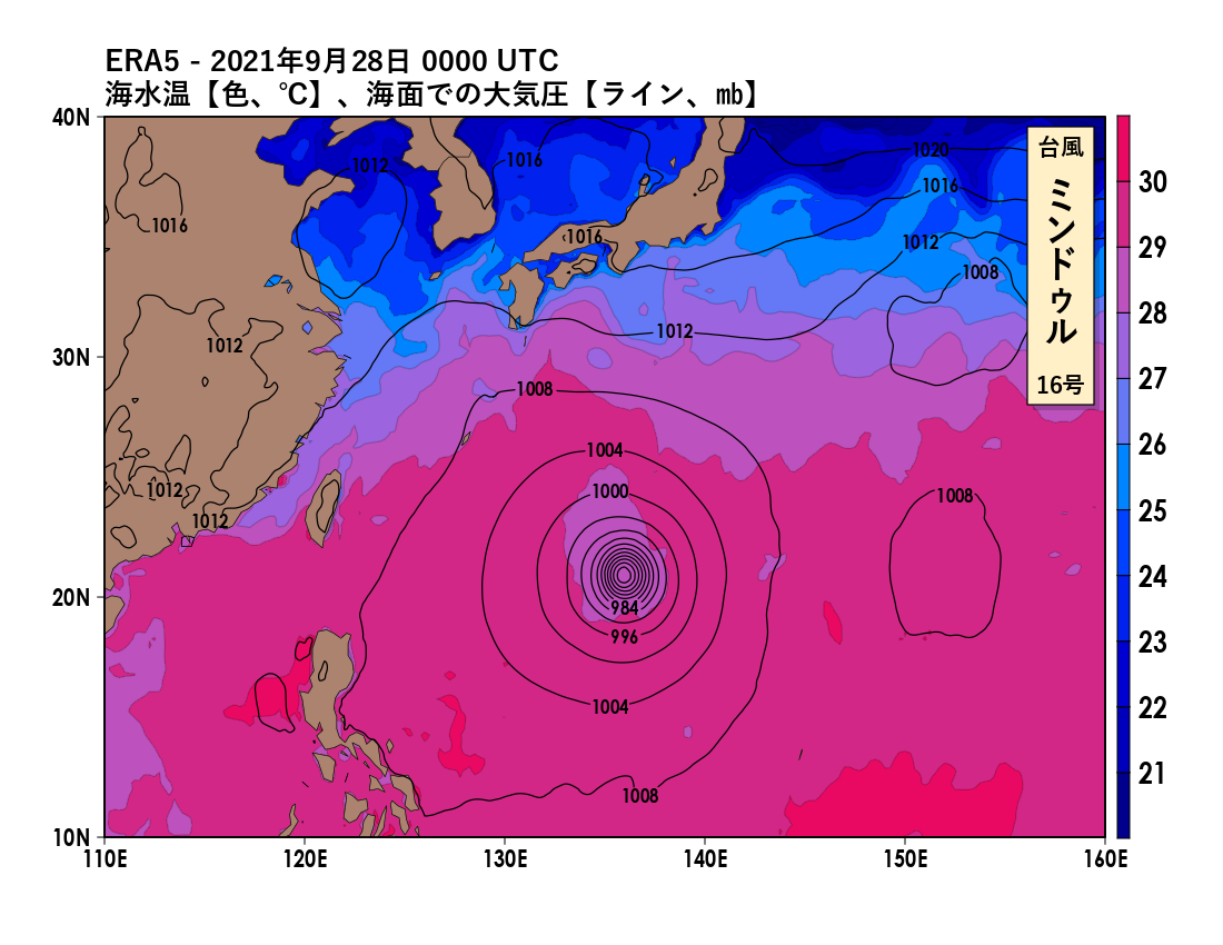
A set of modified C source and header files used while building GrADS 2.1.1 that enable the use of UTF-8 encoded strings in draw and print operations by use of the text override string `u. Useful for using GrADS with fonts that are meant for non-English languages. A new command, draw vstring, is also available, which renders a string vertically. See the README for more info.
Example

Script: Transform Geospatial Coordinates & Vectors to Polar Grid

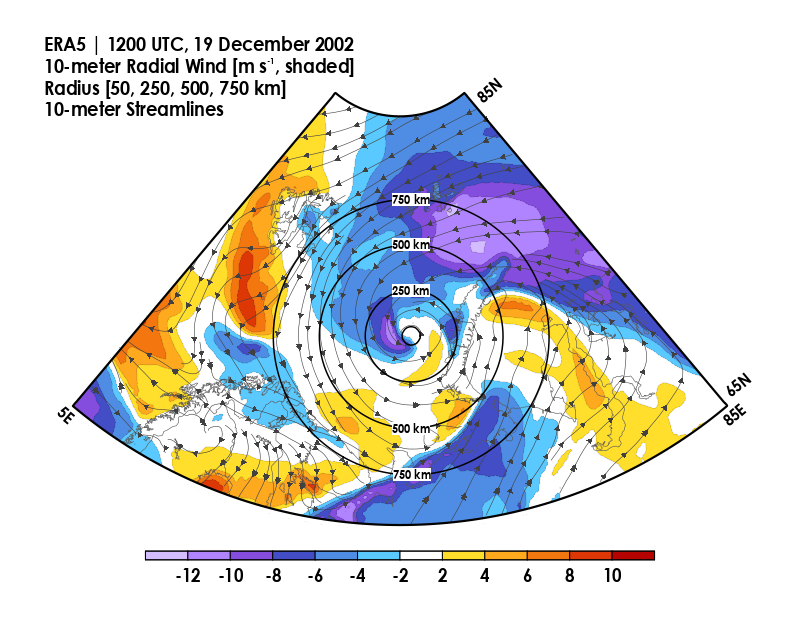
A script that uses user-specified central coordinates in longitude and latitude (or X and Y) to create radius and azimuth fields in GrADS. Further, the user can provide zonal and meridional components of a defined vector field (e.g., geostrophic wind, temperature gradient), and the script will create radial and azimuthal components of the vector field.
Example

Script: Set RGB with colorblindness filter

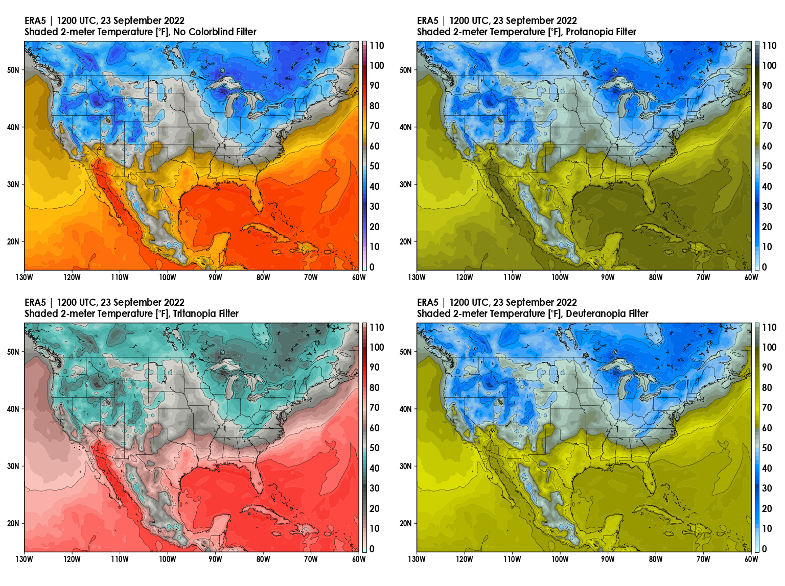
A script that defines a color with given RGB that has been converted to a colorspace restricted by colorblindness. Colorspaces available are protanopia, deuteranopia, and tritanopia.
Example

C plug-in: Targeted contour fill


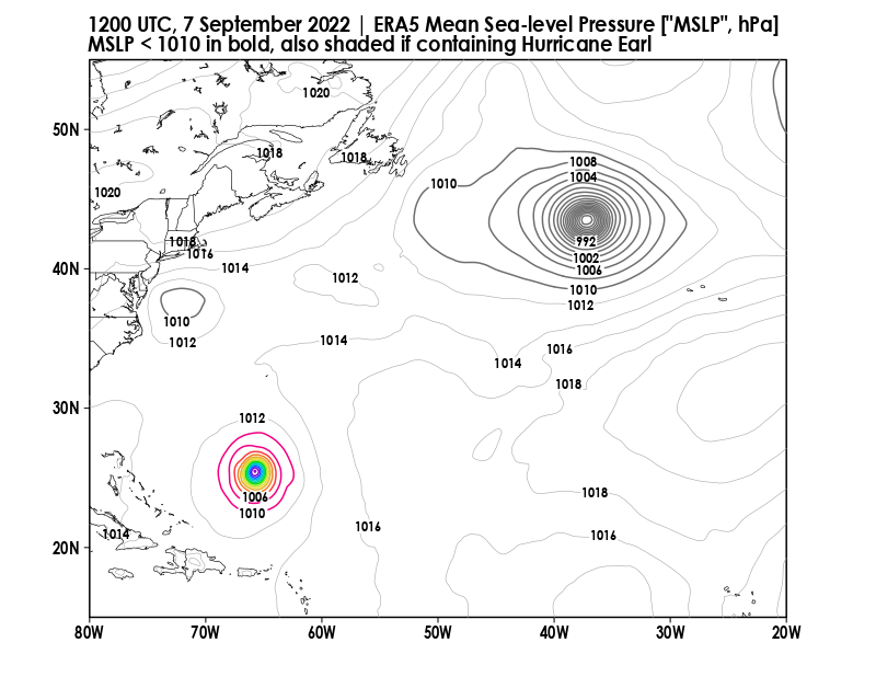
A C-based plug-in for GrADS (2.1.1.b0+) that takes in a gridded expression, and then uses a filling method to yield the expression that is defined only within a contiguous defined region (i.e., a closed contour) that contains a given grid point at (X,Y). Useful in conjunction with maskout() to get a specific defined region, such as one associated with a cyclone enclosed by an outermost isobar.
Example

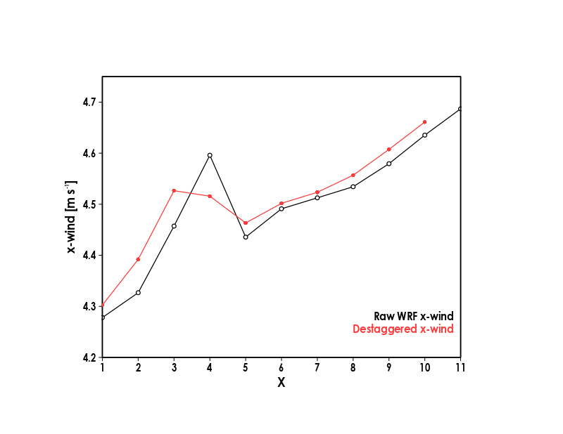
C plug-in: Destagger grid via interpolation


A C-based plug-in for GrADS (2.1.1.b0+) that "destaggers" a staggered grid via interpolation, such as the U grid in raw WRF output.

Simple Models (C++ with SDL)


Clear-sky Color Model


A radiation model and GUI that generates vertical profiles of sky color. In runtime, the user can specify profiles of temperature, as well as concentrations of nitrogen, oxygen, and argon. Options to adjust the Sun's temperature, size, and distance from Earth, as well as Earth's surface pressure, are available.


Cylindrical Shallow Water Model


A shallow water model with a cylindrical coordinate system. Uses a GUI that shows the evolution of height and velocity fields in runtime.


Kyle Ahern

Postdoctoral Research Associate

kkahern@albany.edu


State University of New York, University at Albany

ETEC Building, Room 424D

1220 Washington Ave.

Albany, NY 12226