Realtime Maps:
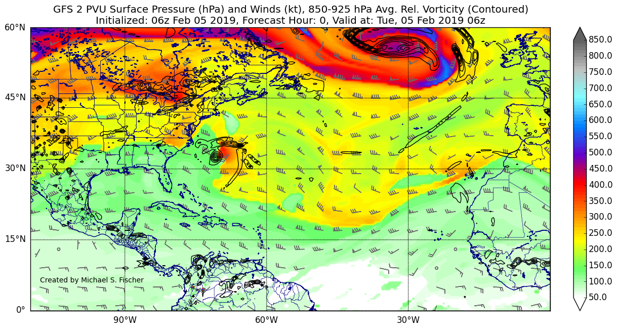
GFS Regional Maps
I create GFS plots of primarily tropical weather focusing on the Atlantic, Pacific, and Indian Ocean basins. GFS maps update 4 times a day.
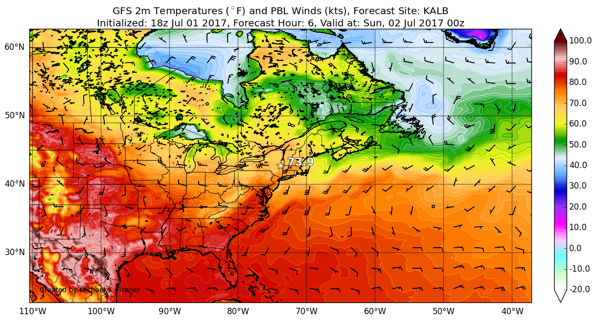
WxChallenge Maps
I create HRRR, GFS, and NAM plots of paramaters useful for WxChallenge. Maps are focused on the current WxChallenge forecast site.