
(Source: NHC, click image for website)
TC Formation Probability | 0-24 Hour

(Source: CIRA/RAMMB, click image for website)
Ensemble-based Probability | 0-48 Hour
(Source: NCEP/EMC, click here for main page)
NHC Products

(Source: NHC, click image for website)
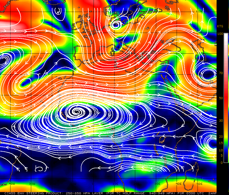
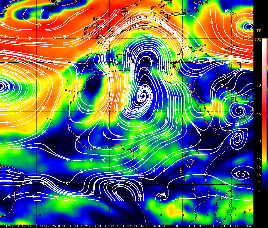
Genesis Guidance
TC Formation Probability | 24-48 Hour

(Source: CIRA/RAMMB, click image for website)
Ensemble-based Probability | 0-120 Hour
(Source: NCEP/EMC, click here for main page)

(Source: NHC, click image for website)

(Source: FSU, click image for website)
Ensemble-based Probability | 120-240 Hour
(Source: NCEP/EMC, click here for main page)