
Numerical Forecast Products
| Jump to Regional models ....... Jump to Global models |
| GFS ENSEMBLE FORECASTS |
| STATION HOURLY MODEL SOUNDING DATA |
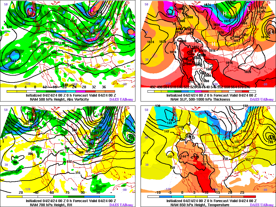
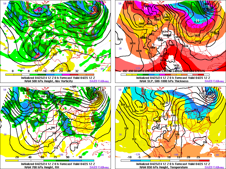
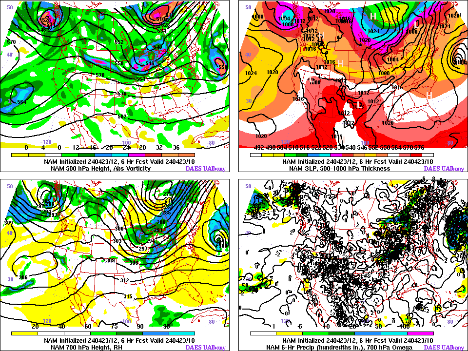
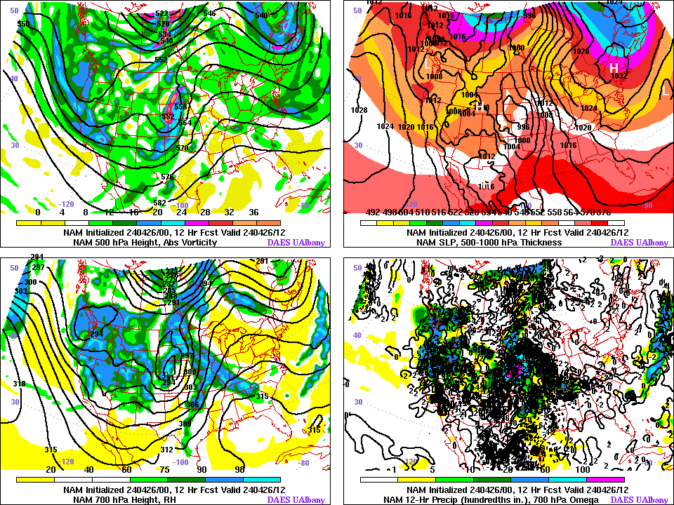
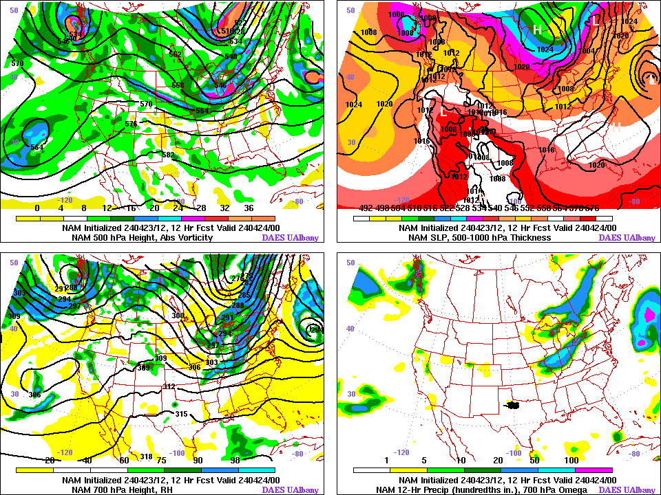
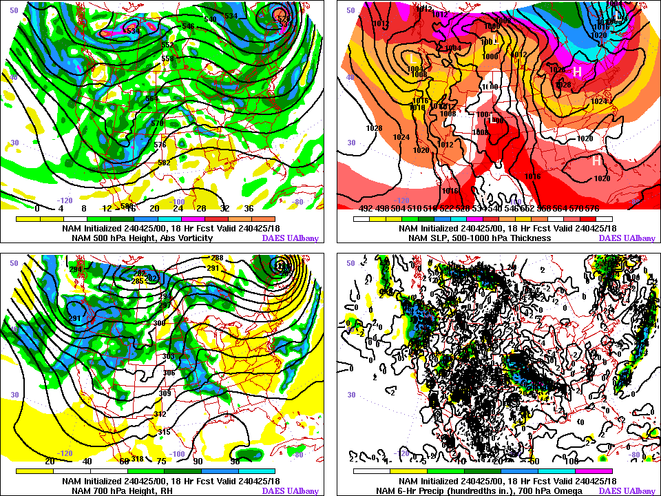
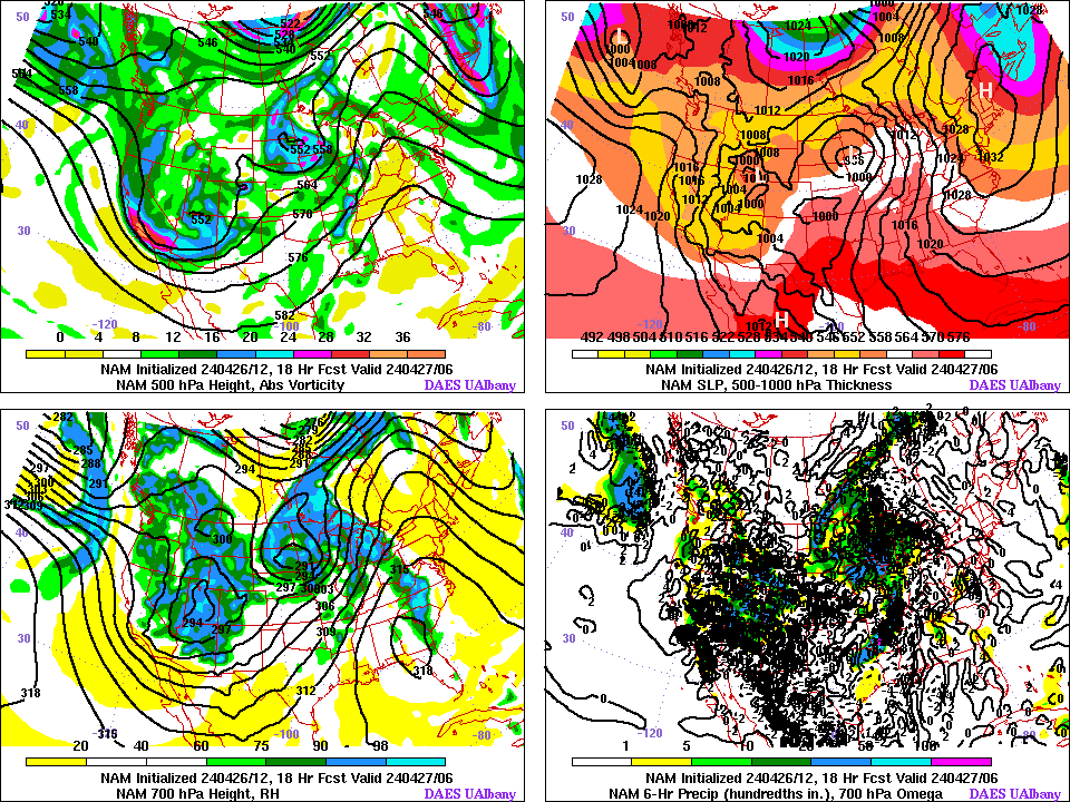
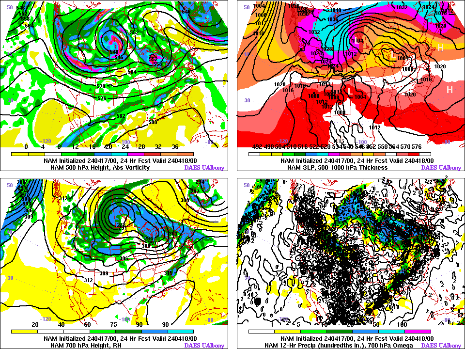
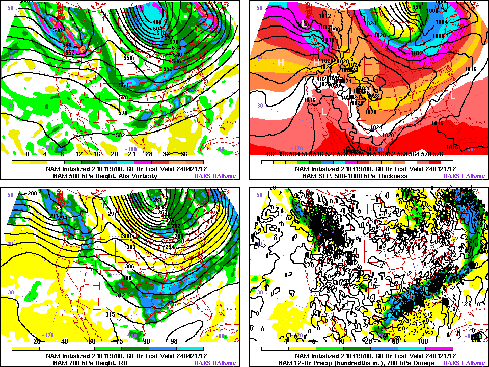
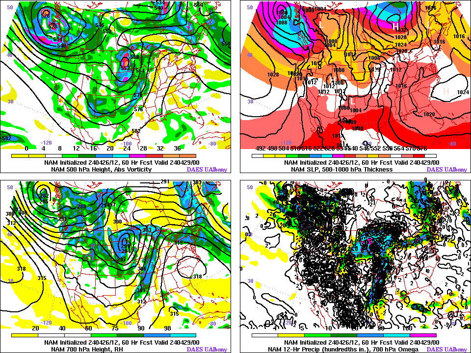
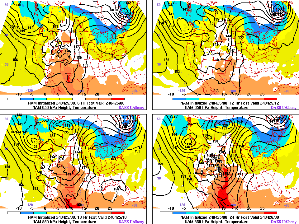
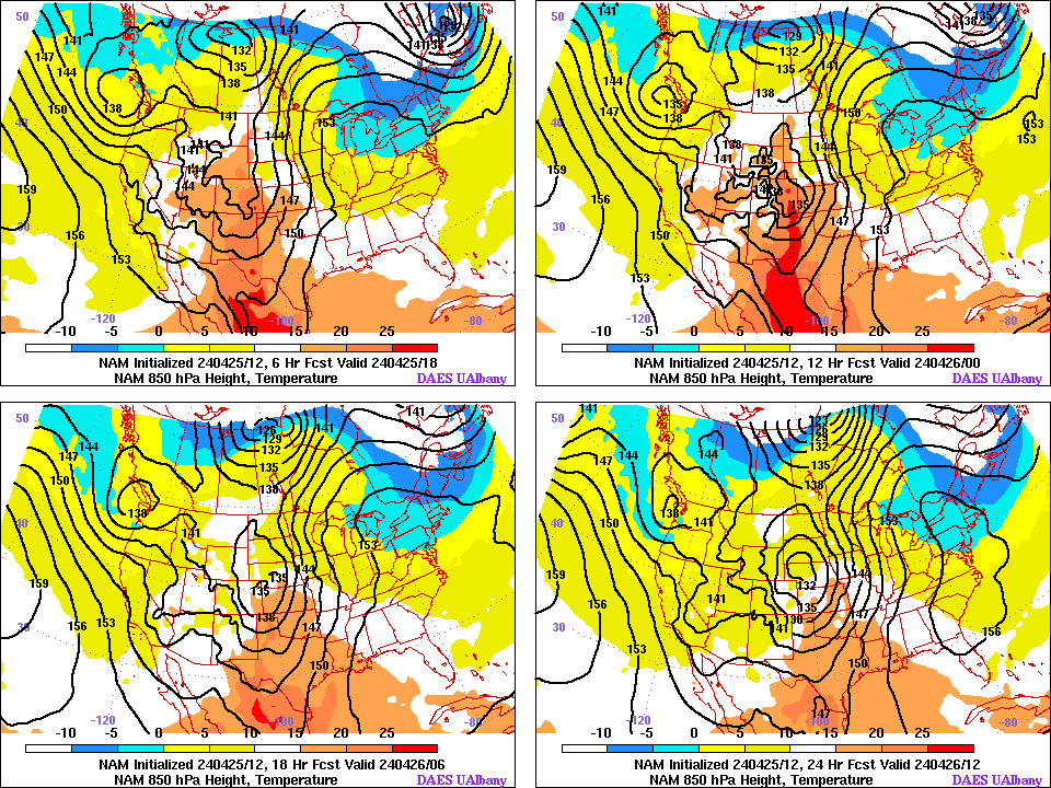
| NORTH AMERICAN MODEL (NAM) | NORTH AMERICAN MODEL (NAM) | HiRes NAM MODEL (NAM) | HiRes NAM MODEL (NAM) |
| Init. 00 Z | Init. 12 Z | Init. 06 Z | Init. 18 Z |
| 00 H Fcst | 00 H Fcst | 00 H Fcst | 00 H Fcst |
| 06 H Fcst | 06 H Fcst | 03 H Fcst | 03 H Fcst |
| 12 H Fcst | 12 H Fcst | 06 H Fcst | 06 H Fcst |
| 18 H Fcst | 18 H Fcst | 09 H Fcst | 09 H Fcst |
| 24 H Fcst | 24 H Fcst | 12 H Fcst | 12 H Fcst |
| 30 H Fcst | 30 H Fcst | 15 H Fcst | 15 H Fcst |
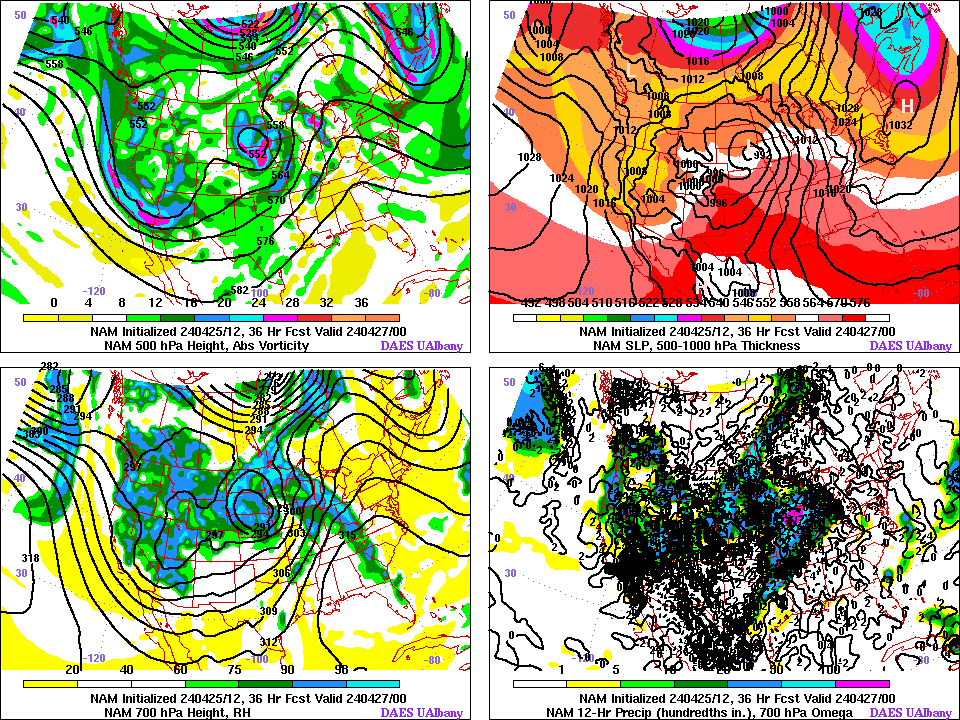
| 36 H Fcst | 36 H Fcst | 18 H Fcst | 18 H Fcst |
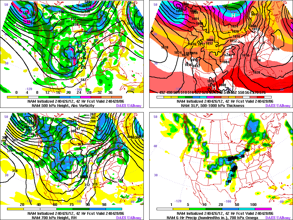
| 42 H Fcst | 42 H Fcst | 21 H Fcst | 21 H Fcst |
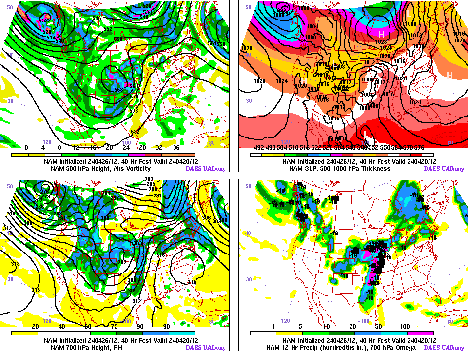
| 48 H Fcst | 48 H Fcst | 24 H Fcst | 24 H Fcst |
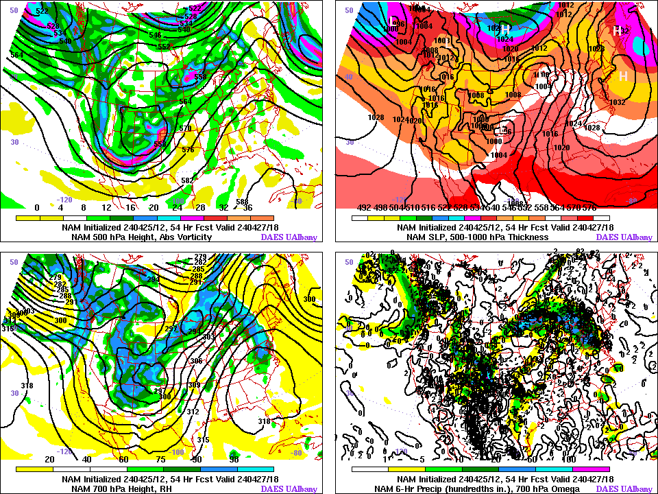
| 54 H Fcst | 54 H Fcst | 27 H Fcst | 27 H Fcst |
| 60 H Fcst | 60 H Fcst | 30 H Fcst | 30 H Fcst |
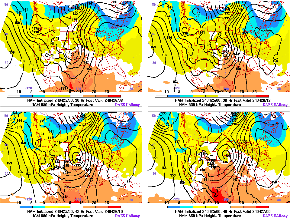
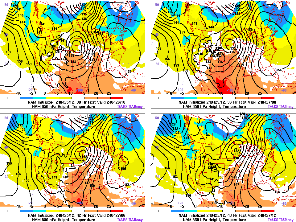
| 850 mb 6-24 H | 850 mb 6-24 H | 850 mb 3-12 H | 850 mb 3-12 H |
| 850 mb 30-48 H | 850 mb 30-48 H | 850 mb 15-24 H | 850 mb 15-24 H |
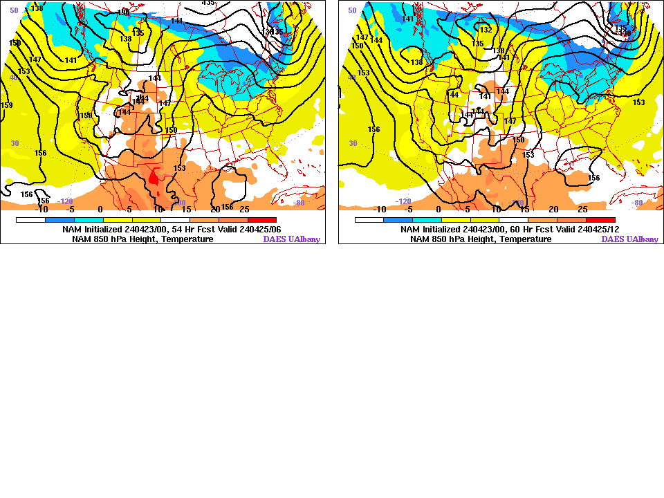
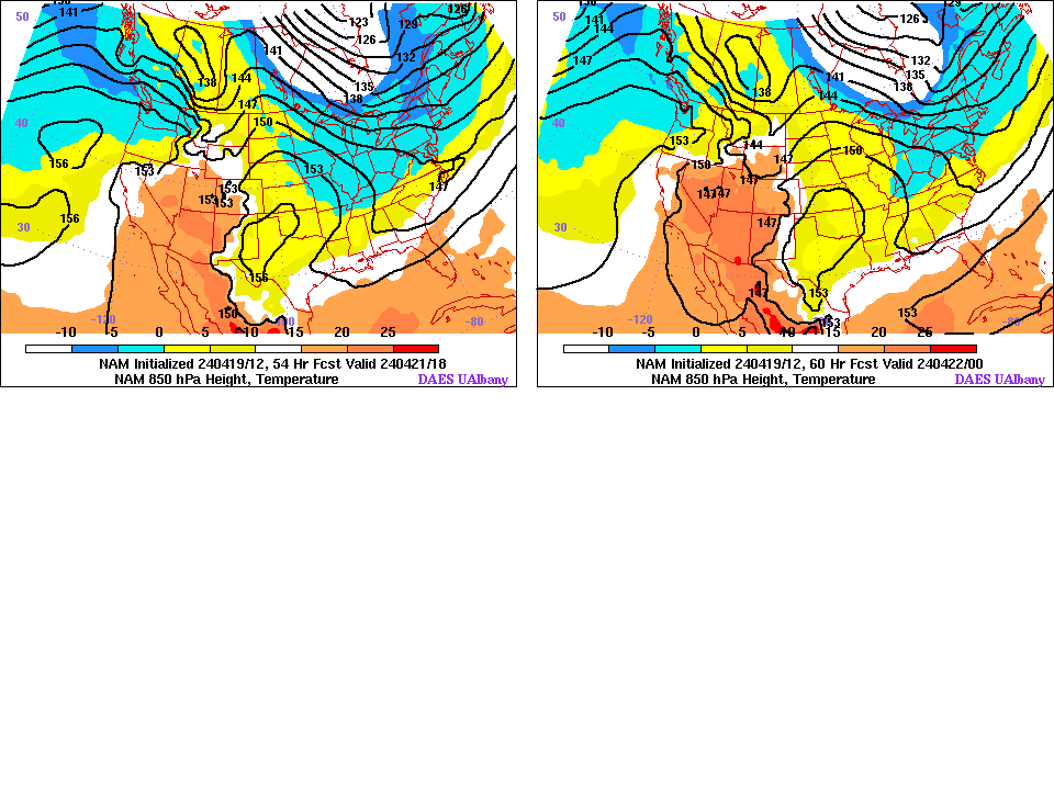
| 850 mb 54-60 H | 850 mb 54-60 H | 850 mb 27-33 H | 850 mb 27-33 H |
NAM Tropopause 4-panel Maps:
0000 UTC Initialization: [00] [06] [12] [18] [24] [30] [36] [42] [48] [54] [60] [animation]
1200 UTC Initialization: [00] [06] [12] [18] [24] [30] [36] [42] [48] [54] [60] [animation]
Nexlab Model products from College of DuPage.
HiRes Window Forecast Page from NCEP EMC.
NAM/WRF FAQ from NCEP.
More model information from NCEP EMC.
NCEP GLOBAL FORECAST SYSTEM (GFS) DATA
|
Teleconnection page (from Climate Prediction Center)
All these products are based on numerical simulations performed at National Centers for Environmental Prediction (NCEP) - NOAA and the Environmental Modeling Center (EMC) NOAA. A great thanks goes to these groups without whom this page (and others like it on the internet) would not be possible. Some model graphics are now available directly from NCEP.


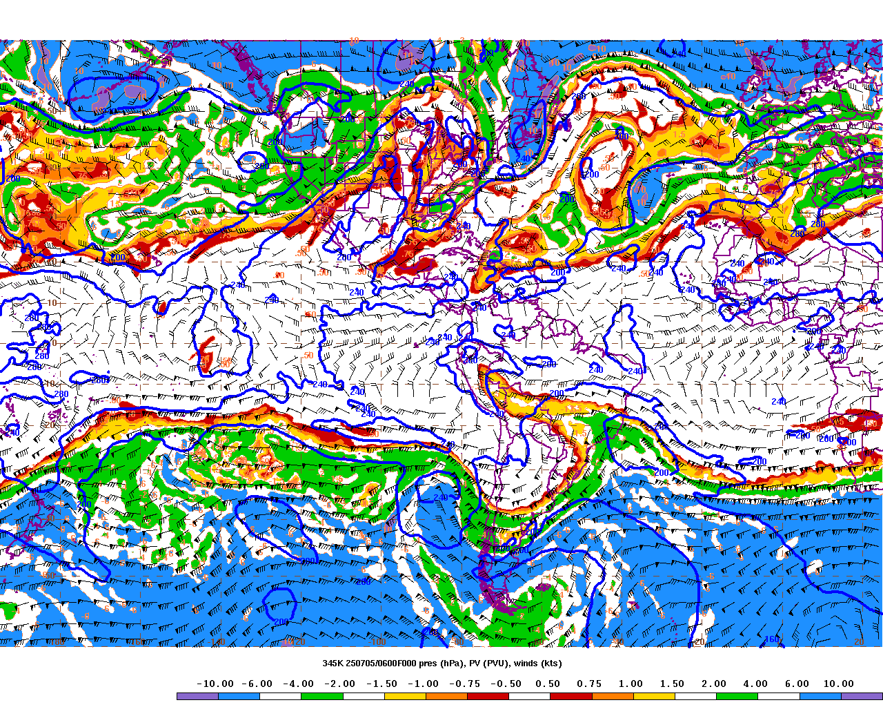
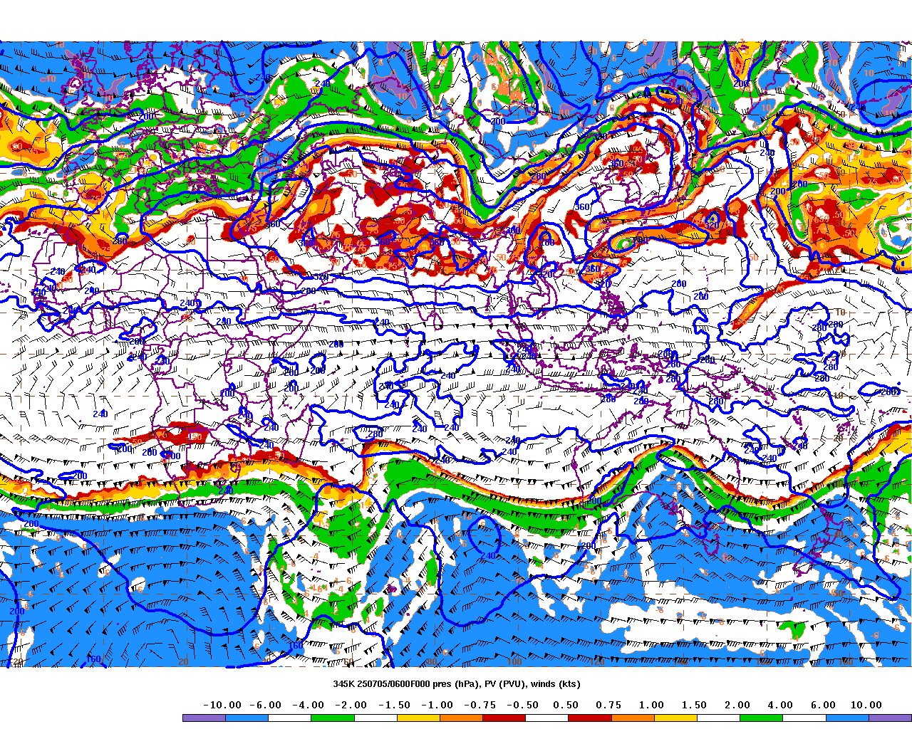
![[00]](http://www.atmos.albany.edu/products/namplots/trop/trop.00.F00.gif)
![[06]](http://www.atmos.albany.edu/products/namplots/trop/trop.00.F06.gif)
![[12]](http://www.atmos.albany.edu/products/namplots/trop/trop.00.F12.gif)
![[18]](http://www.atmos.albany.edu/products/namplots/trop/trop.00.F18.gif)
![[24]](http://www.atmos.albany.edu/products/namplots/trop/trop.00.F24.gif)
![[30]](http://www.atmos.albany.edu/products/namplots/trop/trop.00.F30.gif)
![[36]](http://www.atmos.albany.edu/products/namplots/trop/trop.00.F36.gif)
![[42]](http://www.atmos.albany.edu/products/namplots/trop/trop.00.F42.gif)
![[48]](http://www.atmos.albany.edu/products/namplots/trop/trop.00.F48.gif)
![[54]](http://www.atmos.albany.edu/products/namplots/trop/trop.00.F54.gif)
![[60]](http://www.atmos.albany.edu/products/namplots/trop/trop.00.F60.gif)
![[animation]](http://www.atmos.albany.edu/products/namplots/trop/animate00.gif)
![[00]](http://www.atmos.albany.edu/products/namplots/trop/trop.12.F00.gif)
![[06]](http://www.atmos.albany.edu/products/namplots/trop/trop.12.F06.gif)
![[12]](http://www.atmos.albany.edu/products/namplots/trop/trop.12.F12.gif)
![[18]](http://www.atmos.albany.edu/products/namplots/trop/trop.12.F18.gif)
![[24]](http://www.atmos.albany.edu/products/namplots/trop/trop.12.F24.gif)
![[30]](http://www.atmos.albany.edu/products/namplots/trop/trop.12.F30.gif)
![[36]](http://www.atmos.albany.edu/products/namplots/trop/trop.12.F36.gif)
![[42]](http://www.atmos.albany.edu/products/namplots/trop/trop.12.F42.gif)
![[48]](http://www.atmos.albany.edu/products/namplots/trop/trop.12.F48.gif)
![[54]](http://www.atmos.albany.edu/products/namplots/trop/trop.12.F54.gif)
![[60]](http://www.atmos.albany.edu/products/namplots/trop/trop.12.F60.gif)
![[animation]](http://www.atmos.albany.edu/products/namplots/trop/animate12.gif)